Researchers from the Institute for Systems and Robotics (ISR) – Lisboa (Instituto Superior Técnico / LARSyS) have been developing an autonomous system that allows the use of flying robots to monitor areas at risk of forest fire.
“We cross-check different sources of information – such as satellite data, IPMA and mobile apps – and treat all this general information to create a risk map. Much of the work involves eliminating data that is not reliable and then draw a trajectory for autonomous systems, which will make an automatic surveillance in the most problematic areas”, says Daniel Silvestre, ISR researcher, who also explained that most of the data is collected by mobile apps and that the forest fire alerts are sent by the citizens.
Any autonomous system – such as a drone or a small unmanned aircraft – that does not require a human operator is able to decide which areas are under surveillance and the best trajectory. The air route may include more or less information, but the less complex and cheaper version works in a similar way to the so-called “robot vacuums”, in this case in mid-flight. The Técnico researchers created algorithms that define the trajectories of vehicles by crossing these data with that of satellites. “We often have several people uploading a photo, which points to a certain location, but it is a common error of the equipment. This happens if they use the same type of smartphone, for example. The system we propose is able to check if there is an error or any danger.”
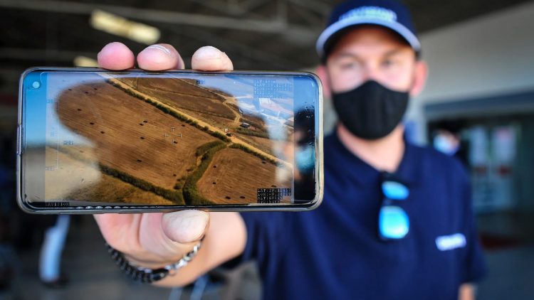
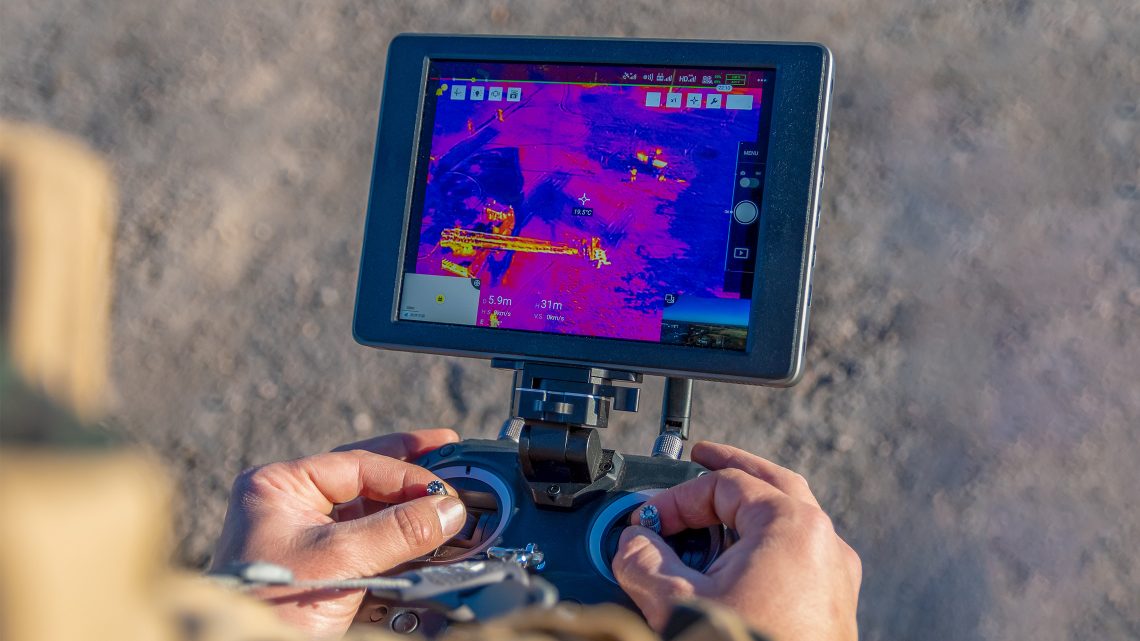
This system is based on information collected by apps previously developed with the University of Coimbra. Users can share multiple photos, which are then associated with a location. But the accuracy of smartphones compasses and sensors can be affected by ponds, high voltage cables, or other factors, so it is necessary to validate the information with various sources. After the information is validated, the drone checks the risk zones, using camera-based detection systems. As to the users, something as simple as taking a walk with the app turned on can help inform that in that area there are no problems, which saves the drone, once it can fly elsewhere. “Drawing a parallel with real-time traffic applications, we use information collected by satellites and cross it with updated information provided by people”.
These combined factors lead to a more realistic mapping of what will be the real possibility of fires. The original idea of the project was to provide these trajectories to other research groups developing forest fire surveillance, but currently the FirePuma project goes far beyond than that.
This process of incorporating real-time changes in drone trajectories, along with the user contributions, makes the FirePuma project a challenge and shows how technology impacts our daily lives. “Our main goal is to have proactive surveillance, because the drone flies adaptive trajectories created according to the danger in that area. If it is proved that this is financially viable, this could lead to huge savings in the long run”, says the researcher.
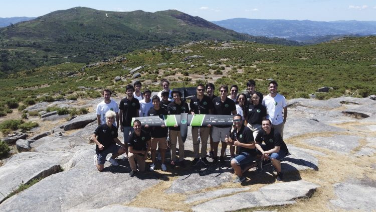
Several Técnico students have participated in the project, both to develop the algorithms and to work on the drone system itself. It is still necessary to integrate the hardware and software, which in itself implies a specific work. “This year, three people will finish their Master’s thesis within the scope of the project. And five new people are already joining the project. For many students, namely those who want to contribute to society, this project is a challenge because it is closely related to real life and to several scientific challenges. The combination of these two factors becomes quite appealing.”
At this stage, the sensor network is already functional and works almost like long-distance Wi-Fi. The researchers are conducting several tests at Técnico’s flight arena, at Taguspark Campus, in order to get drones flying together, as successfully happened in simulator. The first flights will be carried out until early August.