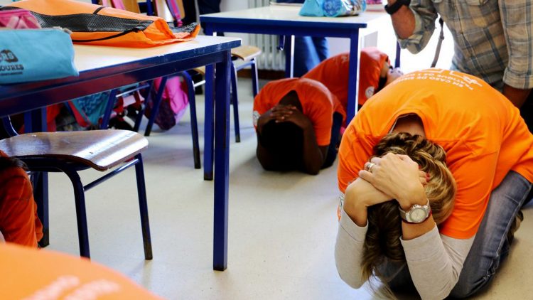
Did you know that Portugal is a country with a high earthquake risk, and with a coastal zone considered of high tsunami risk? Did you know that the arrival of seismic and tsunami waves can take 20 to 30 minutes at best? Are you aware of what you have to do and where to go to protect yourself? The best way to protect the population is to provide them with information, make early warning systems available so that citizens can have a quick and precise response to any of these phenomena. That’s exactly what Portimão City Hall is doing, with the help and expertise of Técnico researchers.
The CERIS research team, composed of professor Carlos Sousa Oliveira, researcher Mónica Amaral Ferreira and researcher Francisco Mota de Sá, is working directly with Portimão City Hall, in a plan on reducing and managing the earthquake and tsunami risk. The Técnico researchers have worked for Portimão City Hall before on earthquake risk assessment, which has led to the Portimão Earthquake Risk Map that also includes areas susceptible to flooding caused by a tsunami. “After presenting this work, the Portimão City Hall and Portimão Civil Protection Service, asked our support to begin the implementation of a warning system and mapping of safety zones in the case of a tsunami”, says Mónica Amaral Ferreira.
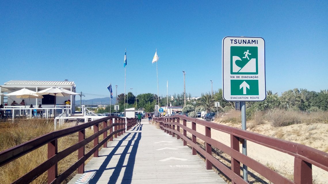
This project, which relies on the experience and expertise of Técnico researchers, is part of Portimão Municipal Master Plan and will allow the implementation of a siren network that will issue tsunami warnings by the competent authorities. Signposting indicating tsunami risk areas and access to safe areas are also included in the project.
The first siren was installed in 2018 and two more were installed in February 2020. By the end of 2022 the network should comprise seven sirens. By this time, signposting is concluded as well as public awareness campaigns.
The Algarve region can be profoundly affected by an earthquake and tsunami, such as the one that occurred in 1755, in Lisbon. For this reason, Earthquake Risk Maps and Maps showing areas susceptible to flooding caused by a tsunami are very important, as they include information on hazard, building vulnerability and population density. “Risk maps allow risk level assessment of a building, the collective equipment and critical infrastructures”, explains the CERIS researcher. In view of that, the group of researchers defined a set of guiding principles, recommendations and specifications that will guide an intervention strategy. “The side effects of earthquakes, such as landslides and falling cliffs, liquefaction and tsunamis were taken into account in the study. Measures to prevent and reduce these effects were also included in the study”, highlights Mónica Amaral Ferreira.
“Since earthquakes and tsunamis cannot be prevented or predicted, it is very important that society work together”, says Mónica Amaral Ferreira. “Portugal is an earthquake prone country, with a coastal zone considered to be an area of high tsunami risk, given its proximity and position free of obstacles in relation to the Azores-Gibraltar fracture zone, namely the Ferradura abyssal plain and the Gorringe Bank, where most of the earthquakes that affect mainland Portugal have their origin”, recalls Mónica Amaral Ferreira. A comprehensive study, like this one, that provides important and useful information, “should be mandatory and adopted by our city halls”.